
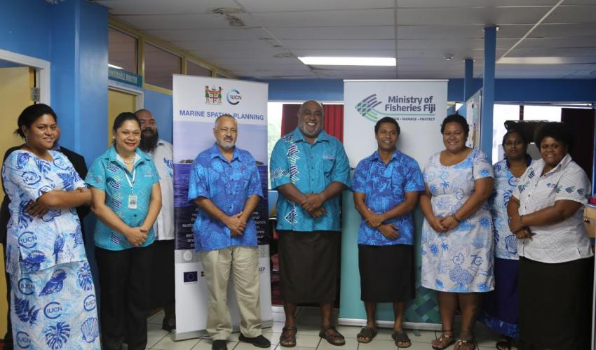
The Government of Fiji is committed to a national network of 30 percent Marine Protected Areas (MPAs) by the end of 2020. With the support of the International Union for Conservation of Nature’s (IUCN) Oceania Regional Office, and other government agencies, and NGO partners, Fiji’s offshore zero draft map was officially presented to the Ministry of Fisheries on Tuesday, 2 June 2020.
The map highlights important biodiversity areas and also takes into account all the uses of our offshore ocean space including our fishing industry, to then identify the best candidate sites for an ecologically representative network of MPAs.
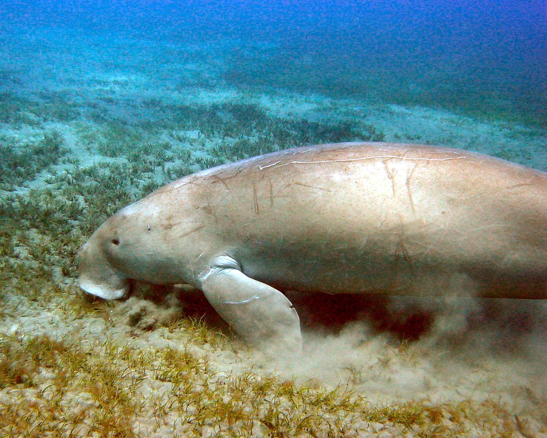
Fiji’s marine resources and their services to Fiji’s people are worth more than FJD$2.5 billion per year. These values are derived from tourism and commercial fishing – values we see in the marketplace. But these values also come from subsistence fishing, coastal protection and carbon storage – values not reflected in the marketplace but none-the-less extremely important to Fiji.
Fiji has enshrined protection of its ocean values within its Green Growth Framework. This builds upon the fact that the Government of Fiji, through the Ministry of Foreign Affairs, at the Small Island States Development (SIDS) Conference in Mauritius in 2005 made a commitment to protect 30% of its seas as MPAs by 2020. This commitment was reconfirmed at the 2014 SIDS Conference in Samoa through the then Ministry of Strategic Planning, National Development and Statistics.
The Minister for Fisheries, Semi Koroilavesau said that the establishment of MPAs has been a challenging task, acknowledging its various interests and utilisation.
“We have a lot of advantages as we have learned from other experiences around the Pacific and other jurisdictions. The concerted efforts of all those involved in the drafting of the zero plus one maps must be commended,” said Koroilavesau.
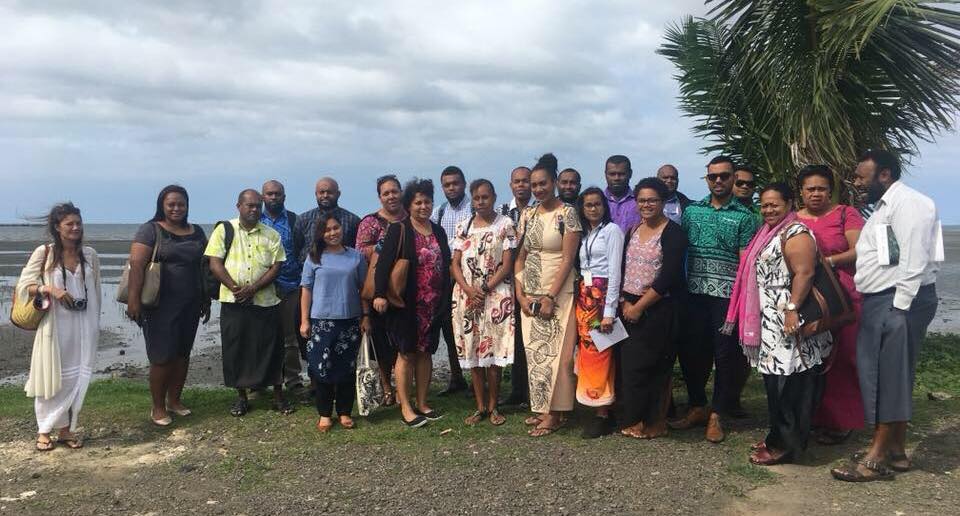
To complement these maps, a ten-step plan to delivering the 30% MPAs was also developed. The Ministry of Fisheries will progress with vigorous consultation phases with stakeholders.
Acknowledging them, IUCN Oceania expressed its appreciation by reiterating that producing the maps could not have been possible without the collective support of the stakeholders.
“I am most pleased that after many years of data collection and scientific analyses, we have been able to present a zero draft map that can be readily used as a decision making tool by the relevant Fijian authorities. I acknowledge the hard work done by IUCN’s Marine team, past and present, our various donors and partners including Fiji’s Ministry for Fisheries, Ministry of Economy Climate Change Division, Ministry of Environment, GIZ, BMU, EU PEUMP, Oceans 5, Bloomberg, FLMMA, cChange, WCS, WWF and CI in what can best be described as a collaborative effort”, said Mason Smith, IUCN Oceania Regional Director.
“Fiji is now in the cusp of fulfilling its international obligation and we look forward to working closely with the Ministry for Fisheries as we undertake national consultations with relevant stakeholders to ensure community, industry and national ownership of the 30% Marine Protected Area”, Smith continued
This work was conducted under the leadership of the Marine Protected Areas Technical Committee (MPATC), which is an advisory body to the government, guiding and overseeing the process.