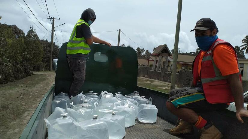

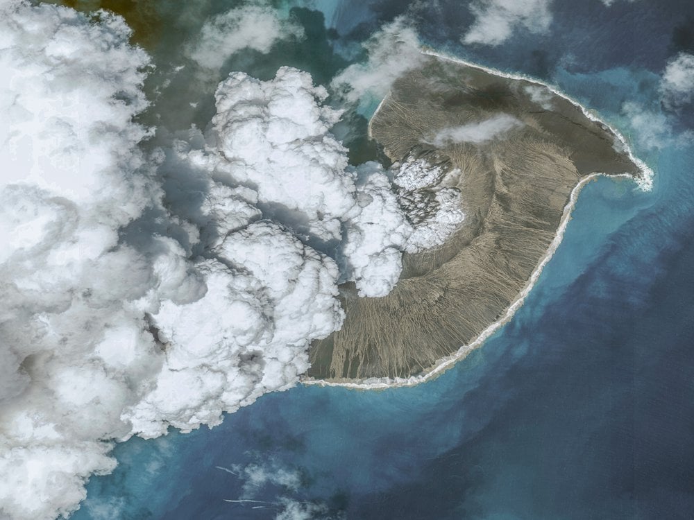
Newly released satellite images show the devastating, widespread damage to the Tongan islands following the eruption of an undersea volcano on 15 January.
The satellite photos, provided to NPR by Maxar Technologies, show before and after images of the area. Tonga’s government said the volcanic eruption and tsunami had caused an “unprecedented disaster” for the islands.
The eruption thrust ash 100,000 feet into the sky, and the effects were felt as far away as the U.S West Coast.
While quite a few islands in the archipelago region are uninhabited, some of the populated ones were heavily damaged by the eruption of Hunga Tonga-Hunga Haʻapai and the subsequent tsunami. Coral reefs around the atolls were also damaged, and the images show Nomuka Island, about 40 miles northeast of the volcano, covered by ash.
In total, 53 detectors around the planet, as far away as Antarctica, recorded the low-frequency boom from the explosion as it traveled through the atmosphere. It was the loudest event the network had detected in more than 20 years of operation, according to Ronan Le Bras, a geophysicist with the Comprehensive Nuclear-Test-Ban Treaty Organisation in Vienna, Austria.
This story was produced by Jonathan Franklin, originally published at NPR on 26 January 2022, reposted via PACNEWS.