PNG’s new coastal monitoring system to allow NMSA to understand and act on threats to maritime safety, security and the marine environment in busy shipping routes
Norwegian technology company Vissim, together with M-Nav Solutions, has installed and upgraded an advanced coastal monitoring and surveillance system to ensure safer vessel navigation in Papua New Guinea’s waters.
Håvard Odden, head of Vissim’s maritime awareness business area said, “The CMS system will contribute towards improved safety of navigation, more efficient planning of marine traffic, better surveillance of remote coastal waters and to help protect areas that have been defined as particularly sensitive sea areas by the International Maritime Organisation.”
Papua New Guinea’s National Maritime Safety Authority (NMSA) is implementing the project. It is funded by the Asian Development Bank, through the Maritime Waterway Safety Project.

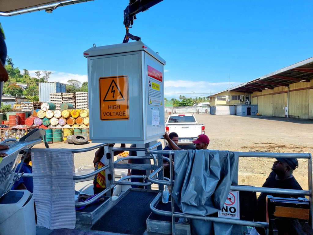
Photo: M-NAV Solutions 
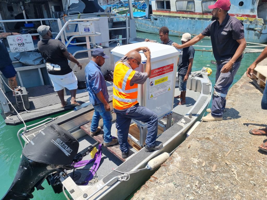
Photo: M-NAV Solutions
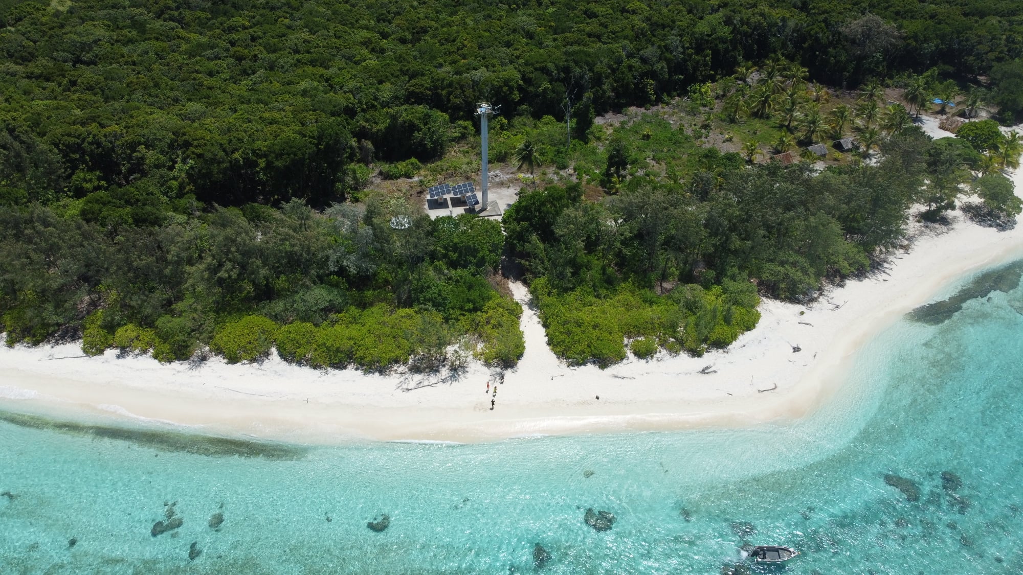
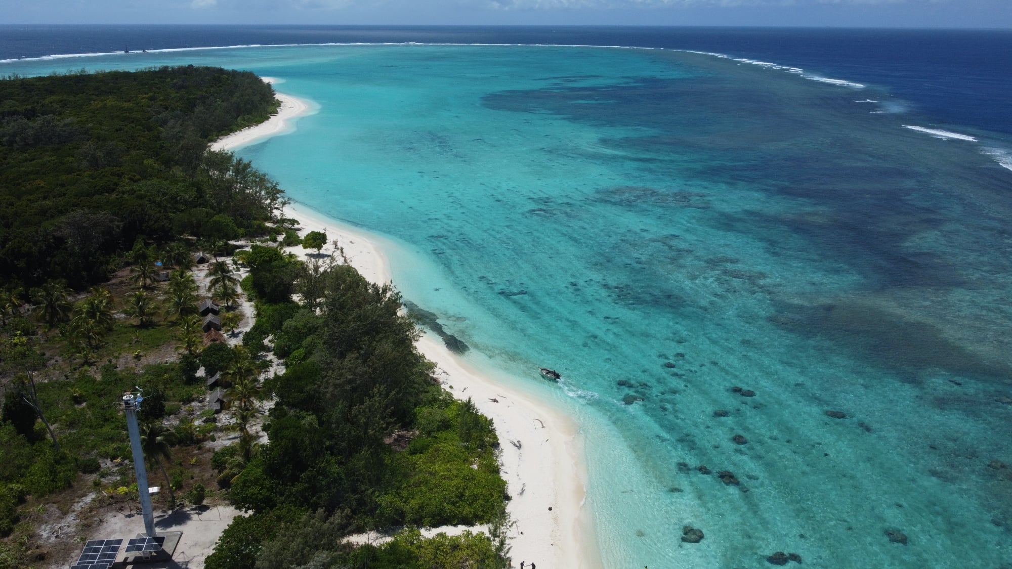
The CMS system incorporates two coastal monitoring station sites that are strategically positioned in Papua New Guinea waters. One is on Tuam Island, in Morobe Province on the eastern side of the Vitiaz Strait, which is a busy international shipping lane, and the other is located on Jomard Island, in Milne Bay Province, which is an existing marine Aid to Navigation (ATON) site, situated on the eastern side of the Jomard Entrance in Milne Bay Province.
Each of the two CMS sites are equipped with radars, automatic identification system (AIS), CCTV, meteorological sensors and VHF communication capabilities. In early 2022, the sites will be upgraded with satellite communication systems. Both sites are equipped with autonomous solar/wind power supplies.
Vissim provides the software platform that enables remote monitoring and control capabilities, and secures data transmission from the two coastal monitoring sites together at the NMSA Vessel Monitoring Centre based in Port Moresby. Both sites are monitored from this central location, along with AIS data from 15 remote coastal stations, also installed by Vissim and M-NAV Solutions in a previous project.


“Our system utilises input from millions of data points to create an easy-to-understand maritime awareness picture that allows NMSA to understand and act on threats to maritime safety, security and the marine environment in busy shipping routes,” Håvard Odden said.
“We are basically creating a complete digital picture of the ocean space of two very remote areas in Papua New Guinea.”
The Jomard Entrance has been designated by the International Maritime Organisation as a particularly sensitive sea area, and includes a ship routing system and precautionary area, which are in place to improve safety of navigation and reduce risk to the pristine marine environment.
The area is home to uninhabited coral atolls and islands with numerous coral reefs systems. It is under consideration to be listed as a UNESCO World Heritage Site.
“Our system shows a real-time overview of marine traffic in the area. This provides a valuable decision support platform that can help protect marine life, traffic and assets in an area that is very vulnerable area to shipping related risks and impacts,” Håvard Odden said.
As the coastal monitoring sites are located in very remote locations, Vissim and M-NAV Solutions worked closely with traditional communities and resource owners to ensure safe and successful installation of the sites.
The transport and installation work at Tuam Island and Jomard Island generated significant opportunities for involvement and engagement from local communities, including both women and youth groups.
“To deliver a system that has been developed in Norway to an exotic location at the other side of the world is special on its own. To also be able to generate local employment and value creation is a fantastic bonus,” Håvard Odden said.
This story was written by Paula Wallace, originally published at Daily Cargo News on 09 February 2022, reposted via PACNEWS.


