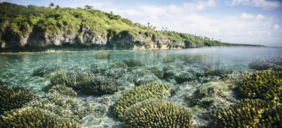

When Hawaii experienced an unexpected coral bleaching event in the fall of 2014, reef managers went out to see the hardest hit reefs. A response team was sent to Kaneohe Bay, Oahu to survey the effects of thermal stress. Since Hawaiian reefs had only bleached once years before, little was known about how the relatively pristine reefs would fare. As Hawaii prepared for another bleaching event in 2015, scientists there were learning more about reef recovery than ever before.
This level of post-bleaching surveying is possible because of the National Oceanic and Atmospheric Administration’s (NOAA) Coral Reef Watch (CRW) program’s newest coral bleaching monitoring tool. Publicly available online, the satellite mapping product is a marked improvement for monitoring and predicting bleaching events.
It also has major implications for management: Will predictive bleaching forecasts allow reef managers to respond to coral bleaching more effectively?

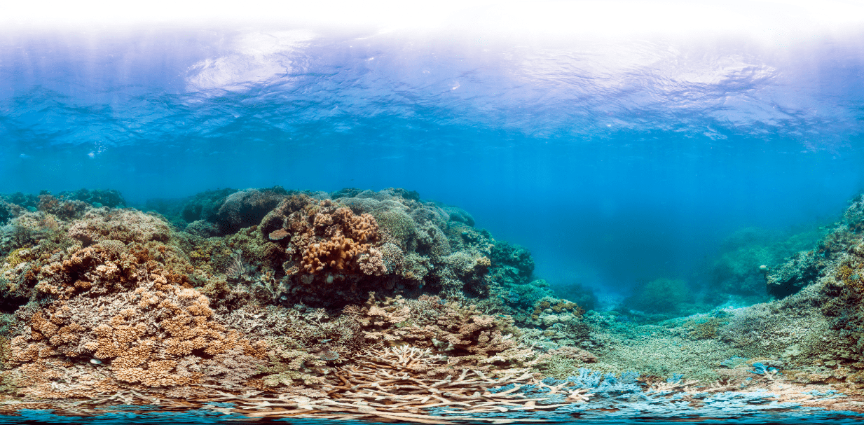
Only two years later: Great Barrier Reef, 2014; Credit: XL Catlin Seaview Survey
Right now CRW is recording the third global bleaching event at a finer resolution than was ever possible in the past. It’s a global event, since consistently warming water temperatures have led to mass coral bleaching in all three of the world’s major oceans. The first two events, one in 1998 and the other in 2010, were somewhat spaced out, but scientists predict they’ll become more frequent.
When water temperatures increase an average of two degrees, corals lose the algae that gives them their color. By bleaching, their white skeleton is exposed. Without that symbiotic algae, most corals struggle to feed themselves and can die when turf algae takes over. Corals can recover, but if stressful conditions like warm water temperatures persist the odds are unlikely.
With the ability to create daily 5 kilometer (km) resolution bleaching warning maps, the new monitoring product provides much finer details than its 50-km predecessor. “Managers needed finer details, since most reefs are pretty small, and they wanted predictions about the potential for future bleaching events,” says Mark Eakin, coordinator of the CRW program. By using more satellites and climate models, the monitoring tool can provide detailed daily reports and seasonal outlooks.

Maps of Hawaii compare the 50 km and 5 km resolution data. Credit: Coral Reef Watch
How it’s used
To make this data user-friendly, CRW created virtual stations for the hundreds of reef managers, scientists, and researchers that use this data all around the world. By designating recognizable places like Maui or and parts of Australia’s Great Barrier Reef as virtual stations, stakeholders can quickly identify places of interest. They subscribe to an email alert system that notifies them when that reef is experiencing stress.
Based on NOAA’s latest climate predictions, the reports can give some insight into what’s coming months down the line. “Managers love it. We can show week by week what the probability of bleaching for the next four months is,” says Eakin. “They can’t tell you exactly what’s going to happen, but they’re good predictors.”
They’ve been especially useful for field monitoring in Hawaii. “While we may have not developed a management solution to bleaching, we gathered crucial information about how coral in Hawaii responds to thermal stress and recovers,” says Anne Rosinski, a marine resources specialist at Hawaii’s Division of Aquatic Resources. The 5-km data allowed them to pinpoint specific locations where bleaching was the worst, so they could focus limited field monitoring resources there. Coral bleaching is complicated by Hawaii’s highly variable topography and geology, so having finer details makes monitoring easier there.
Bleaching is the result of global processes that are warming the earth’s oceans, so prevention isn’t possible even if it can be predicted months before.
“Warnings allow us to get ready to record what happens, the death of corals, or if we are lucky, their survival, since they can bleach and recover if it doesn’t get too hot for too long,” says Douglas Fenner, a contractor that monitors American Samoa’s reefs for NOAA’s National Marine Fisheries Service (NMFS). “We will have the best documented dead reefs the world has ever known.”
The value of mitigation techniques
Despite not being able to stop bleaching, the CRW data could help with deciding where to focus response efforts. Shade clothes that float on the water could shield reefs from direct sunlight and limit heating from that radiation. Pumping cooler water from lower depths up to reefs could keep them cooler too. But both methods would be expensive. Many scientists are skeptical about small-scale techniques like this, but others feel they’re practical to use on highly-valued reefs.
Building local resilience seems more plausible; it’s done by minimizing human impacts like tourism, fishing, and agricultural and industrial runoff. This approach has been used for years, but the world’s reefs are still bleaching at alarming rates. “For everything that humans do that damage reefs, some people benefit,” says Fenner. Over 100 countries around the world benefit from reef tourism alone. While economically important, most reefs are exploited.
Yet there is value in being able to identify the strongest reefs through field monitoring like managers in Hawaii are doing. “Some areas might have natural protection, so we can make their survival even more likely by limiting fishing and boat traffic,” says Eakin. With the Intergovernmental Panel on Climate Change’s (IPCC) future climate scenarios, scientists can identify the best places for long-term conservation efforts too.
The benefits of long-term planning for conservation
Reefs can and do bounce back from bleaching events. In 1998 a strong El Nino caused a large bleaching event on western Australia’s Scott Reef. But over the next 15 years the reef came back. A combination of fish that had never been seen at the reef before ate the turf algae that took over the coral skeleton, allowing the corals to recover to nearly the same levels as before the bleaching, though some older ones did die.
Located about 600 km from shore and 1000 km from any major city, the reef was far from civilization. “That shows us how nature has the ability to bounce back from an injury if we leave it alone,” says Eakin. Overuse is one of reasons that reefs in the Caribbean and Great Barrier Reef haven’t been as successful at recovering from bleaching events.
So, is there value in just being able to monitor reefs to inform long-term planning? If it leads to effective marine policy that promotes conservation, then yes. “Approaching marine management from a proactive instead of reactive way allows us to get ahead of the issues,” says Jason Vasques, programs director for the Coral Reef Alliance. Marine policies could halt fishing, tourism, or construction near a reef that is about to bleach or even prevent all of those activities from taking place if the reefs are in a protected area. That at least gives the reef a better chance of recovering.
CRW is a useful predictive monitoring tool and can help managers gain support for conservation, but the global processes that cause widespread bleaching can’t be ignored. The IPCC predicts that by 2050 mass bleaching will occur on a yearly basis, a trend we’re already beginning to see. Stakeholders know that only an international agreement can make a difference. “Just maybe there will be enough political will at upcoming climate change meetings to make a difference,” says Eakin. “Our reefs really do depend on it.”