
Satellite monitoring in Tuvalu to “chart the extent of fishing activity by non-authorised or non-reporting vessels” tightening net on IUU fishing under a new project
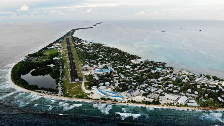
The World Bank is funding a new programme by the Pacific Island of Tuvalu, aiming to maximize the country’s earnings from tuna access deals by engaging a New Zealand satellite firm to monitor its waters.
The Tuvalu government’s fishery department engaged New Zealand firm Starboard Maritime Intelligence to complete 60 satellite scans of its exclusive economic zone (EEZ) under the World Bank-funded Pacific Islands Regional Oceanscape Program (PROP). The satellite monitoring aims to “chart the extent of fishing activity by non-authorised or non-reporting vessels.”
Illegal, unreported, and unregulated (IUU) fishing is being squeezed by a surge in satellite capacity in recent years, according to Starboard Maritime Intelligence Senior Scientist Moritz Lehmann.
“Over the past year or so more than a dozen new commercial vessel-detection satellites have come online, and before the end of 2023 we expect dozens more, which means we are quickly closing the surveillance gap,” he said.
Each satellite scan, covering up to 80 percent of Tuvalu’s EEZ – which measures 750,000 square kilometres – uses cutting-edge technology -applied for the first time in this region. The new technology maps the locations of navigational radars aboard ships, and creates images of the ocean surface using what Starboard terms “synthetic-aperture radar.”
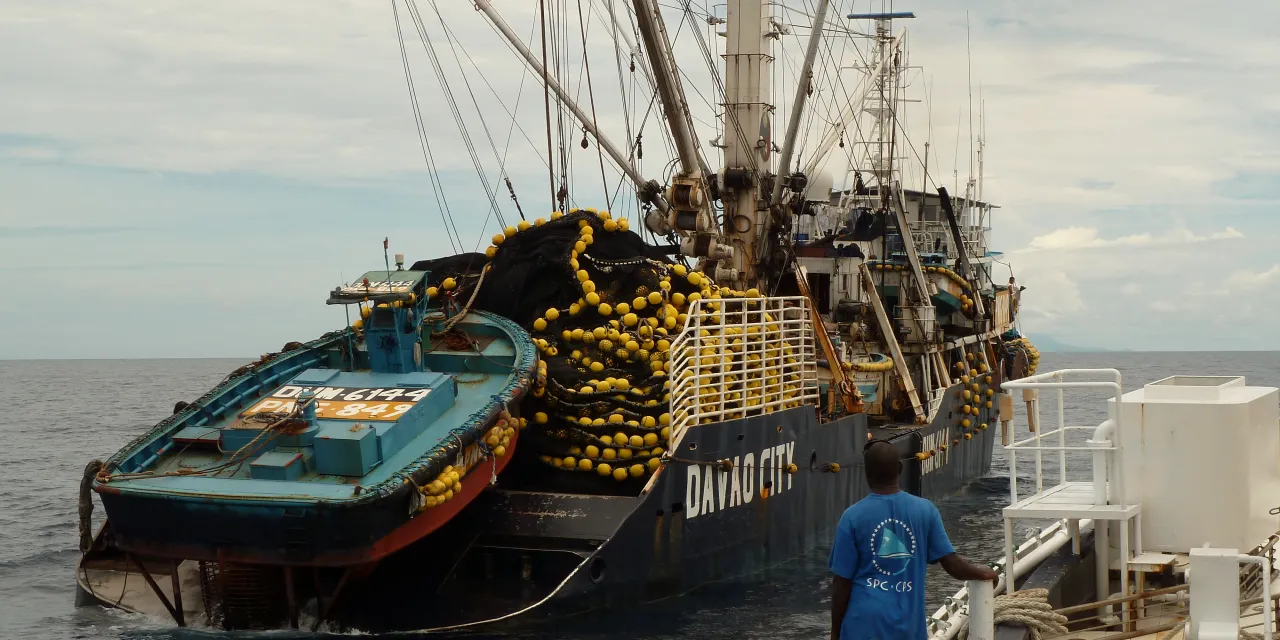
Vessels detected by the satellites that are not also reporting their locations using the mandated identification systems are highlighted as being “dark’” – that is, potentially fishing illegally in the area and trying to evade identification.
“Most of our scans in Tuvalu contained some potentially dark vessels,” Tuvalu Fisheries Department Principal Fisheries Officer Tupulaga Poulasi said.
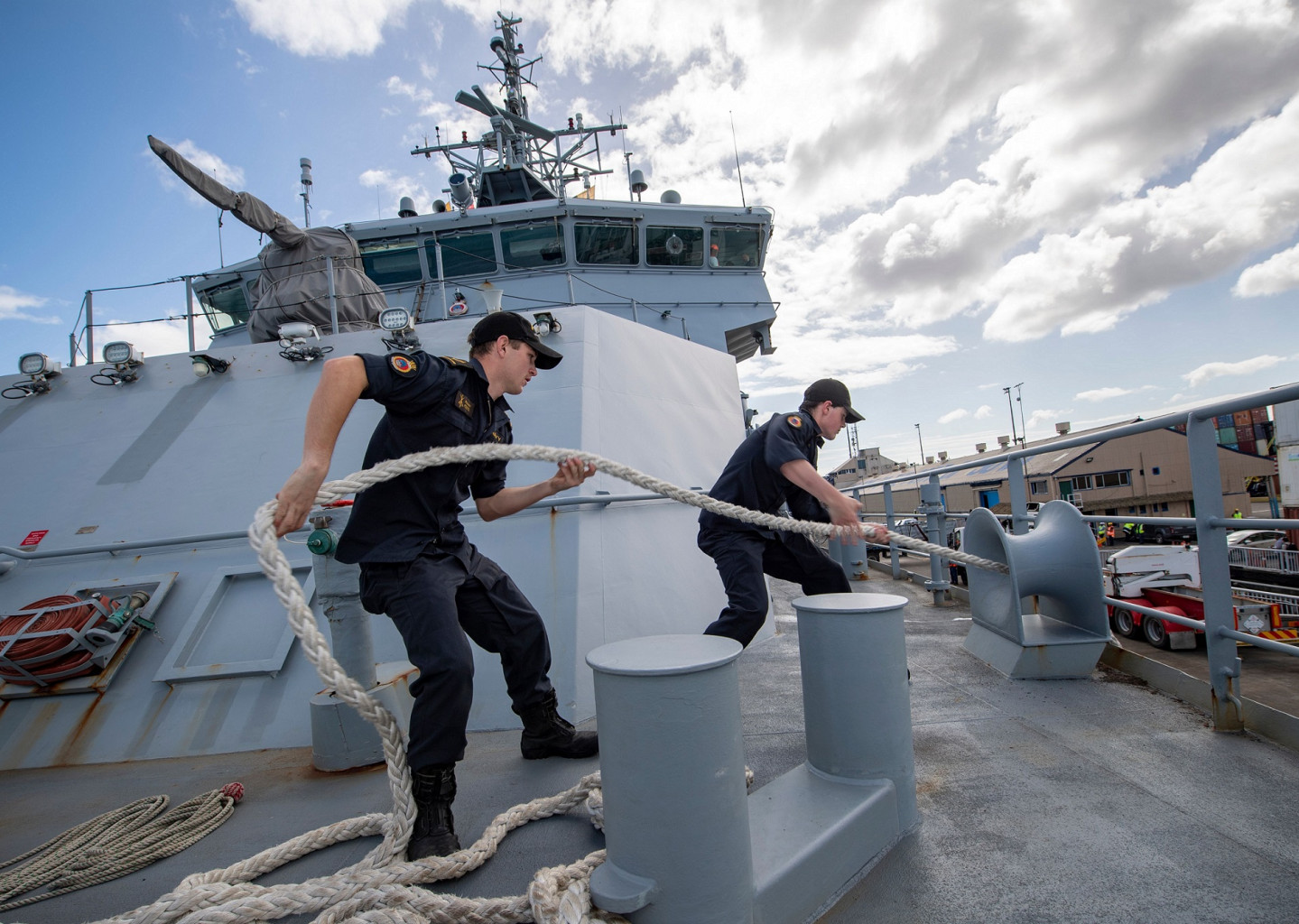
The Pacific Island Fisheries Forum Agency (FFA) and New Zealand Defence Force (NZDF) provided additional intelligence to the monitoring program, including verification of scans from air and sea patrols.
“What Tuvalu is doing here is important, because access fees paid by foreign vessels fishing their waters represent more than fifty-five percent of government revenue,” said fisheries compliance advisor Francisco Blaha. Blaha has worked in Pacific Island fisheries for over 30 years, and collaborated with Starboard on the Tuvalu project.
“Satellite reconnaissance is due to become a regular tool for us to learn about the patterns of dark vessel activity, which supports our intelligence analysis work on key high-risk areas and targets to direct surface and air assets,” FFA Surveillance Operations Officer Yohni Fepuleai said.
Supporting Pacific Island countries such as Tuvalu to harness the potential of their natural resources, especially fisheries, in a sustainable way lies at the heart of poverty reduction – part of why the World Bank is contributing funds.
“Combating illegal fishing through conventional approaches, supported by technology such as satellite monitoring, is key to achieving this goal,” World Bank Senior Natural Resource Management Specialist Iretomiwa Olatunji, who is also a team leader for the PROP project, said.
The project team will offer training to local authorities to understand the technology and its potential to merge different types of data to aid fisheries enforcement. The Pacific Islands, meanwhile, are benefitting from a series of satellite monitoring programs aimed at reducing IUU fishing.
A May meeting in Tokyo of the Quadrilateral Security Dialogue (Quad), an organisation involving Australia, India, Japan and the U.S, saw the launch of the Indo Pacific Partnership for Maritime Domain Awareness, an intelligence-led initiative to assist poorer states in the Pacific to combat IUU. That partnership plans to engage commercial satellite operators to track vessels suspected of fishing illegally.
Separately, the Joint Analytical Cell (JAC) was launched earlier this year by the USAID-funded International Monitoring, Control and Surveillance Network alongside data focused monitoring groups Global Fishing Watch and TM Tracking (TMT), a satellite monitoring firm. The JAC aims to give lower-income coastal states greater access to fisheries intelligence, and offer the nations more targeted analysis on IUU.
“Regional collaborations, like this operation, support ongoing research as we see a rapid increase in new technology in this area,” Lehmann said.
This story was written by Mark Godfrey, originally published at SeafoodSource on 19 August 2022, reposted via PACNEWS.