
Vanuatu’s first Ocean climate monitoring and observation buoy network to develop and enhance Vanuatu’s multi-hazard early warning systems and combat climate change effects
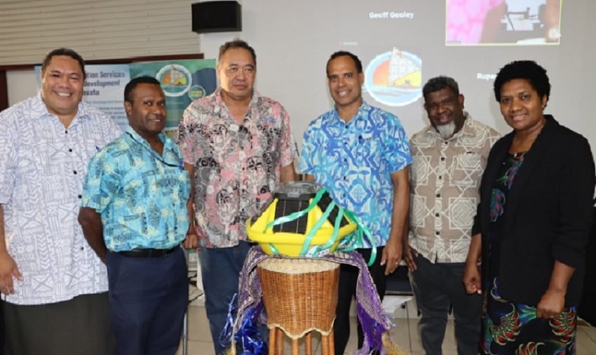
Vanuatu has taken a significant step forward with the commissioning of the country’s First Ocean climate monitoring and observation buoy network, deployed by the Vanuatu Klaemet Infomesen blong Redy, Adapt mo Protekt (VanKIRAP) project.
Minister for Climate Change Adaptation, Ralph Regenvanu, officially launched the buoy network at The Melanesian Hotel in Port Vila
“I cannot emphasise enough the importance of this climate and ocean monitoring system for allowing Vanuatu to develop and enhance our multi-hazard early warning systems,” Minister Regenvanu said.
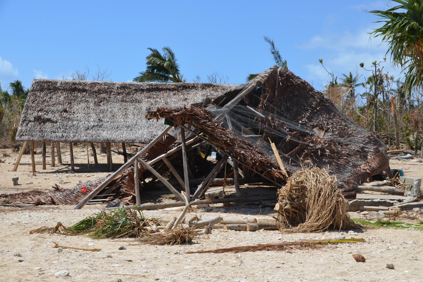
“Today’s launch is very timely following the aftermath of the twin cyclones that have impacted our nation, unprecedented not only in their occurrence just a day apart, but also in their intensity.”
He also stated that climate science predicts that extreme events like tropical cyclones, flooding, sea level rise, ocean acidification, and marine heatwaves will become more severe and more destructive in Vanuatu in the near future.
“To respond to these changes, we need good observations and scientific data to underpin our planning and policymaking, and to support Vanuatu’s resilient development and adaptation to climate change,” Minister Regenvanu concluded.
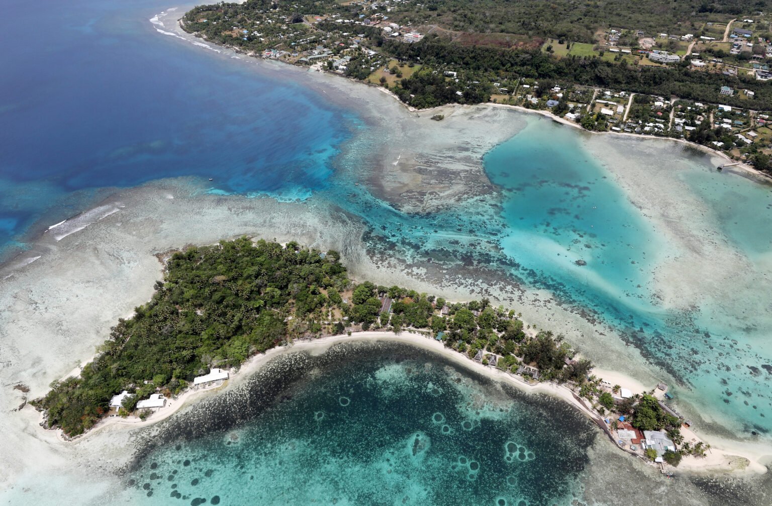
The Vanuatu Ocean Monitoring Network is a chain of six ocean climate monitoring buoys deployed across the Vanuatu archipelago to monitor how climate change is affecting the ocean around the country, and to provide early warning to communities and key agencies of impending climate-related events.
The buoys are deployed at Port Vila, Efate; Million Dollar Point, Santo; Lonnoc Beach, Santo; Port Resolution, Tanna; Inyeug Island, Aneityum and Tomman Island, Malekula.
The buoys measure sea surface temperature, wave direction, wave height, wave period and spread, as well as wind speed at each location.
The data they gather allows VMGD and the Department of Fisheries to issue early warnings to communities for coastal inundation and erosion. The buoys can also provide near real-time data about the impacts of climate-related events like cyclones and marine heatwaves.
In this regard, the buoys are already producing valuable data: during the recent twin severe cyclones Judy and Kevin, the ocean monitoring network recorded wave heights of 5 metres at Port Resolution, Tanna, and 4.5 metres at Aneityum.
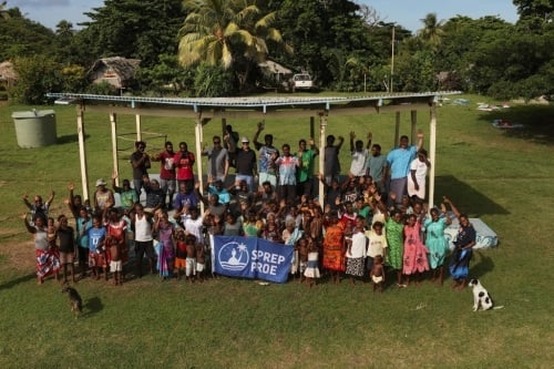
The Vanuatu Ocean Monitoring Network is a key activity of the VanKIRAP Project that helps mainstream science-based climate information to better prepare Vanuatu’s key sectors, policymakers, and the public to face the challenges that the changing climate brings.
The ocean climate monitoring network is a partnership between the Vanuatu Meteorology and Geo-hazards Department (VMGD) in collaboration with the Vanuatu Fisheries Department, the Secretariat of the Pacific Regional Environment Programme (SPREP), and Australia’s Commonwealth Scientific Industrial Research Organisation (CSIRO).
Funding support is provided by the Green Climate Fund (GCF) through the VanKIRAP project.
This story was compiled by Doddy Morris, originally published at Vanuatu Daily Post on 20 April 2023, reposted via PACNEWS.